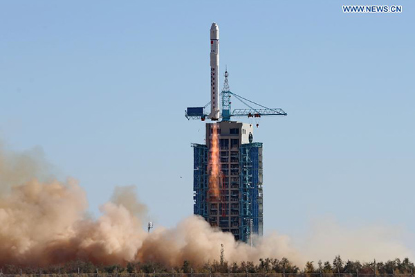
A Long March-2D carrier rocket carrying the Tianhui-1C mapping satellite blasts off from the launch pad at the Jiuquan Satellite Launch Center in northwest China’s Gansu province, Oct 26, 2015. Designed by a subsidiary of the CASTC, Tianhui-1C is the third satellite in the Tianhui-1 series and will be used for scientific experiments, land resource surveys, mapping, crop yield estimation and disaster relief.[Photo/Xinhua]
JIUQUAN, Gansu — China successfully sent the Tianhui-1C mapping satellite into orbit at 3:10 pm on Oct 26 from Jiuquan satellite launch center in the northwestern province of Gansu.
The satellite was aboard a Long March 2D carrier rocket, the 215th launch of the Long March series carrier rockets, according China Aerospace Science and Technology Corp (CASTC), the producer of the rocket.
Designed by a subsidiary of the CASTC, Tianhui-1C is the third satellite in the Tianhui-1 series and will be used for scientific experiments, land resource surveys, mapping, crop yield estimation and disaster relief.

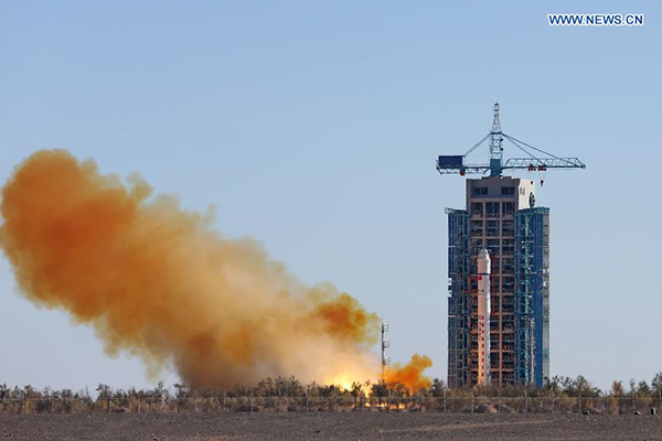
A Long March-2D carrier rocket carrying the Tianhui-1C mapping satellite blasts off from the launch pad at the Jiuquan Satellite Launch Center in northwest China’s Gansu province, Oct 26, 2015. Designed by a subsidiary of the CASTC, Tianhui-1C is the third satellite in the Tianhui-1 series and will be used for scientific experiments, land resource surveys, mapping, crop yield estimation and disaster relief.[Photo/Xinhua]
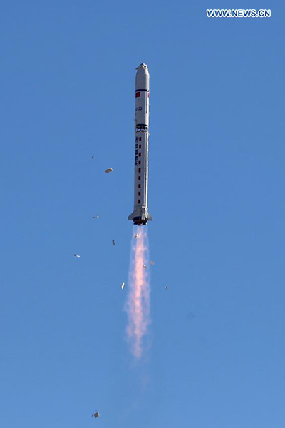
A Long March-2D carrier rocket carrying the Tianhui-1C mapping satellite blasts off from the launch pad at the Jiuquan Satellite Launch Center in northwest China’s Gansu province, Oct 26, 2015. Designed by a subsidiary of the CASTC, Tianhui-1C is the third satellite in the Tianhui-1 series and will be used for scientific experiments, land resource surveys, mapping, crop yield estimation and disaster relief.[Photo/Xinhua]
A Long March-2D carrier rocket carrying the Tianhui-1C mapping satellite blasts off from the launch pad at the Jiuquan Satellite Launch Center in northwest China’s Gansu province, Oct 26, 2015. Designed by a subsidiary of the CASTC, Tianhui-1C is the third satellite in the Tianhui-1 series and will be used for scientific experiments, land resource surveys, mapping, crop yield estimation and disaster relief.[Photo/Xinhua]